Newham Council is committed to creating people-friendly
streets and making it easier and safer for all our
residents to consider sustainable modes of transport.
Whether travelling by foot, cycling, scooting, using a
wheelchair or other mobility aids, this will all
contribute towards creating a cleaner and healthier
borough.
Due to the Covid-19 pandemic, there is an even more
urgent need to improve London’s streets for
walking and cycling, to reduce pressure on our road and
public transport networks, and to support with social
distancing. This is why we have accelerated our delivery
programme and are introducing experimental Low Traffic
Neighbourhoods (LTNs), as well as other measures, in the
borough.
With limited capacity on public transport and with over
50% of Newham households not owning a car, we need to
ensure that residents have a safe and attractive
alternative to get to where they need to for work,
schools and local amenities, subject to government
advice and the restrictions in place for social
distancing.
Less traffic on our streets will also reduce road
danger, particularly for more vulnerable road users such
as children and elderly people crossing the road, while
at the same time lowering the level of harmful emissions
from motorised vehicles. Newham has the poorest air
quality in the country and some of the highest asthma
rates amongst the under 18s, and we need to make some
fundamental changes to our streets to help residents
stay physically active and healthy, improve local air
quality, and encourage a shift to more sustainable modes
of transport.
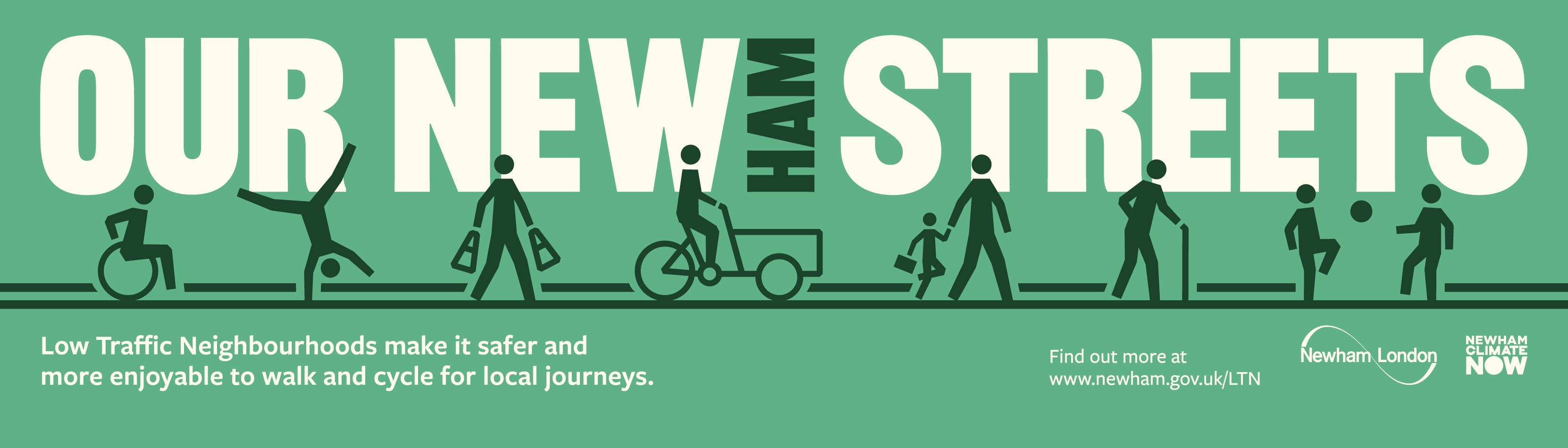
What is a Low Traffic Neighbourhood (LTN)?
A Low Traffic Neighbourhood (LTN) aims to improve street
environments and local neighbourhoods for walking and
cycling by reducing traffic volumes. Often, motorised
vehicles will use local streets to shorten their journey
times, but at the same time increasing local traffic,
road danger and pollution levels, and therefore making
it harder for residents to choose walking or cycling for
local journeys.
An LTN uses access restrictions, known as ‘modal
filters’, to prevent motorised vehicles from using
local streets as a cut-through to avoid main roads.
‘Modal filters’ are created with physical
barriers on the road, such as planters or bollards, or
are signposted and monitored with enforcement cameras.
Modal filters with physical barriers will restrict
access for motorised vehicles but will still allow
enough space for pedestrians and cyclists to travel
through them.
Local residents, businesses, visitors, emergency
services and other service providers such as waste
collection, utilities and deliveries will still have
vehicular access to every address within the LTN scheme,
although they may need to take a slightly different
route than before. We have consulted emergency services
to ensure that each scheme meets their requirements.
All our LTN schemes will be introduced on an
experimental basis and will be in place for a maximum
period of 18 months. During this time, we will be
gathering local feedback, consulting key stakeholders
and collecting traffic data to help determine whether
the scheme will be made permanent or not in the future.
Location map of LTN schemes
Find out more and share your views
Normally, we would consult with local people before
starting works, however, due to the Covid-19 pandemic
and the urgent need to improve our streets, we are
gathering feedback while the schemes are on the ground.
This is an opportunity for you to let us know how well a
scheme is working, highlight any issues and make
suggestions for improvements in the short-term or to
inform the design of a possible permanent scheme in the
future.
For more information on each LTN scheme and to share
your views, click on the relevant link below.
Area 1: Maryland
(In partnership with the London Borough of Waltham
Forest)
Bounded by Crownfield Road, Leytonstone Road, Forest
Lane and Leyton Road.
Area 2: Odessa
(In partnership with the London Borough of Waltham
Forest)
Bounded by Cann Hall Road, Dames Road, Woodgrange Road,
Forest Lane and Leyton Road.
Area 3: Manbey
Bounded by Manbey Grove, Forest Lane, Romford Road and
The Grove.
Area 4: Atherton
Bounded by Keogh Road - leading to Earlham Grove,
Woodgrange Road, Romford Road and Forest Lane
Area 5&6 (to be launched at a future
date)
Bounded by Capel Road, Forest Drive, Hampton Road,
Romford Road and Woodgrange Road
Area 7: Stratford Park
Bounded by Romford Road, Vicarage Lane, Densham Road and
West Ham Lane
Newham Council is committed to creating people-friendly
streets and making it easier and safer for all our
residents to consider sustainable modes of transport.
Whether travelling by foot, cycling, scooting, using a
wheelchair or other mobility aids, this will all
contribute towards creating a cleaner and healthier
borough.
Due to the Covid-19 pandemic, there is an even more
urgent need to improve London’s streets for
walking and cycling, to reduce pressure on our road and
public transport networks, and to support with social
distancing. This is why we have accelerated our delivery
programme and are introducing experimental Low Traffic
Neighbourhoods (LTNs), as well as other measures, in the
borough.
With limited capacity on public transport and with over
50% of Newham households not owning a car, we need to
ensure that residents have a safe and attractive
alternative to get to where they need to for work,
schools and local amenities, subject to government
advice and the restrictions in place for social
distancing.
Less traffic on our streets will also reduce road
danger, particularly for more vulnerable road users such
as children and elderly people crossing the road, while
at the same time lowering the level of harmful emissions
from motorised vehicles. Newham has the poorest air
quality in the country and some of the highest asthma
rates amongst the under 18s, and we need to make some
fundamental changes to our streets to help residents
stay physically active and healthy, improve local air
quality, and encourage a shift to more sustainable modes
of transport.
What is a Low Traffic Neighbourhood (LTN)?
A Low Traffic Neighbourhood (LTN) aims to improve street
environments and local neighbourhoods for walking and
cycling by reducing traffic volumes. Often, motorised
vehicles will use local streets to shorten their journey
times, but at the same time increasing local traffic,
road danger and pollution levels, and therefore making
it harder for residents to choose walking or cycling for
local journeys.
An LTN uses access restrictions, known as ‘modal
filters’, to prevent motorised vehicles from using
local streets as a cut-through to avoid main roads.
‘Modal filters’ are created with physical
barriers on the road, such as planters or bollards, or
are signposted and monitored with enforcement cameras.
Modal filters with physical barriers will restrict
access for motorised vehicles but will still allow
enough space for pedestrians and cyclists to travel
through them.
Local residents, businesses, visitors, emergency
services and other service providers such as waste
collection, utilities and deliveries will still have
vehicular access to every address within the LTN scheme,
although they may need to take a slightly different
route than before. We have consulted emergency services
to ensure that each scheme meets their requirements.
All our LTN schemes will be introduced on an
experimental basis and will be in place for a maximum
period of 18 months. During this time, we will be
gathering local feedback, consulting key stakeholders
and collecting traffic data to help determine whether
the scheme will be made permanent or not in the future.
Location map of LTN schemes
Find out more and share your views
Normally, we would consult with local people before
starting works, however, due to the Covid-19 pandemic
and the urgent need to improve our streets, we are
gathering feedback while the schemes are on the ground.
This is an opportunity for you to let us know how well a
scheme is working, highlight any issues and make
suggestions for improvements in the short-term or to
inform the design of a possible permanent scheme in the
future.
For more information on each LTN scheme and to share
your views, click on the relevant link below.
Area 1: Maryland
(In partnership with the London Borough of Waltham
Forest)
Bounded by Crownfield Road, Leytonstone Road, Forest
Lane and Leyton Road.
Area 2: Odessa
(In partnership with the London Borough of Waltham
Forest)
Bounded by Cann Hall Road, Dames Road, Woodgrange Road,
Forest Lane and Leyton Road.
Area 3: Manbey
Bounded by Manbey Grove, Forest Lane, Romford Road and
The Grove.
Area 4: Atherton
Bounded by Keogh Road - leading to Earlham Grove,
Woodgrange Road, Romford Road and Forest Lane
Area 5&6 (to be launched at a future
date)
Bounded by Capel Road, Forest Drive, Hampton Road,
Romford Road and Woodgrange Road
Area 7: Stratford Park
Bounded by Romford Road, Vicarage Lane, Densham Road and
West Ham Lane